Hike Bisse de Salins-Djiette - Bisse de Vex
Summer hikes
This hike combines downhill, flat and uphill sections and allows you to discover two beautiful bisses of the region: the Bisse de Salins and the Bisse de Vex.
- Picnic area available
- Accessible by public transport
- Playground
- Loop
- Suitable for families
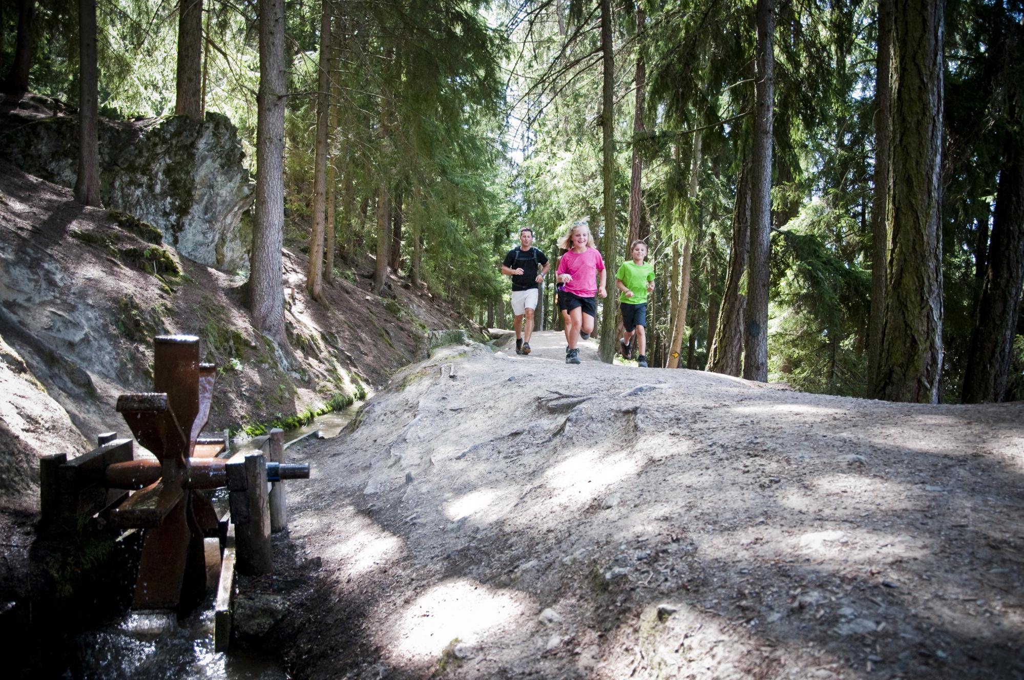

The departure point of this hike is in front of the Tourist Information Office or at the Veysonnaz resort postal bus stop. The walk begins by going down towards the old quarters of the village of Veysonnaz, as far as the last houses. You join the Bisse de Salins and follow it towards Beuson.
The bisse runs through the dry meadows of Clèbes and Verrey, crosses the suspension footbridge and then continues into the forest for several kilometres. At the crossroads with the Route de Plan-Désert, follow the road up to the left until it joins the Route de la Djiette on the left. This forest road climbs steadily and takes you through the forest to the Djiette picnic shelter and the Bisse de Vex. To return to Veysonnaz follow the bisse in the same direction as the water. The itinerary ends at the gondola departure station.