Nendaz Trail 70km
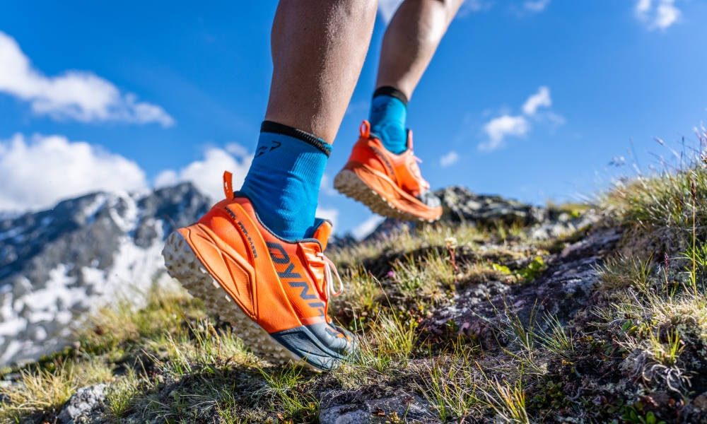
Trail running
With over 3,500 metres of positive and negative variation in altitude, the highest point at 2,987 metres above sea level and a total distance of 70 kilometres, this spectacular course will appeal to the most experienced trail runners.
- Accessible by public transport
- Panorama / belvedere
- Loop


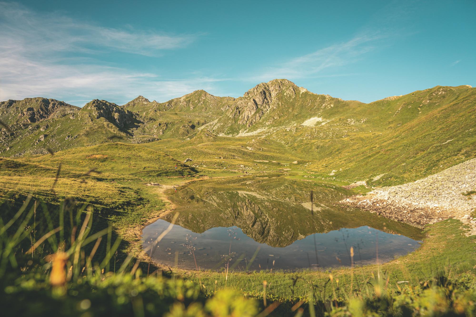


Depart from the official starting point of the Nendaz Trail at the sports centre in Haute-Nendaz. Then start your ascent towards Tracouet and climb to the top of the magnificent Dent de Nendaz
Enjoy the view from here and then descend to Planchouet via Siviez. When you reach the hamlet of Planchouet, set off on the famous and demanding Chemin des 24 contours (24 hairpin bends). Join Combatseline and take the Bisse de Chervé.
Then head towards the Saint-Laurent mountain cabin, before reaching the highest point of the route, the Prafleuri pass, at 2987 metres above sea level.
Come back down to Thyon via the Essertze cabin, continue to Siviez and reach Haute-Nendaz via the Bisse de Saxon.