Trail running course Dents Rousses
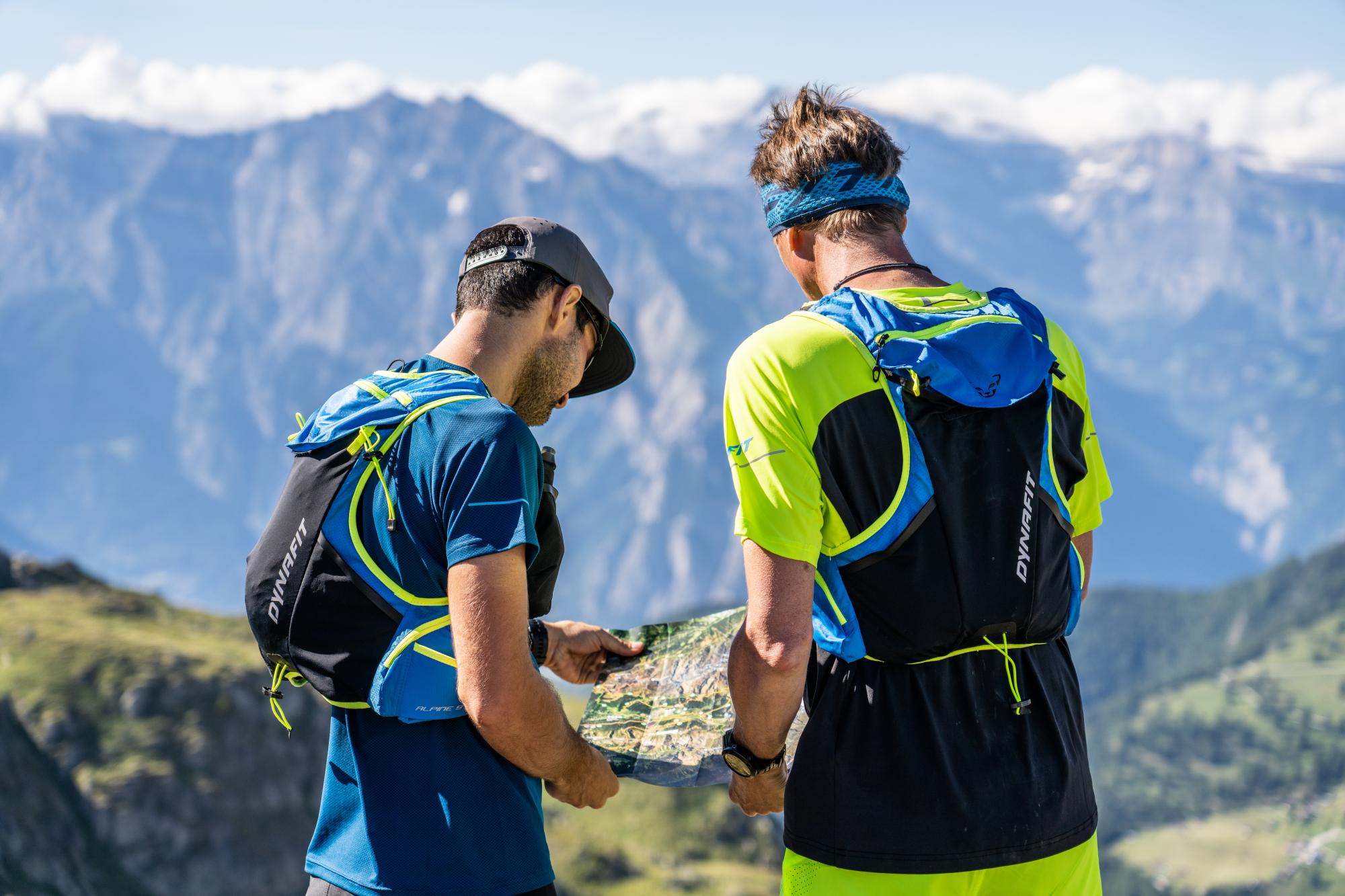
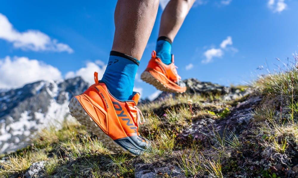
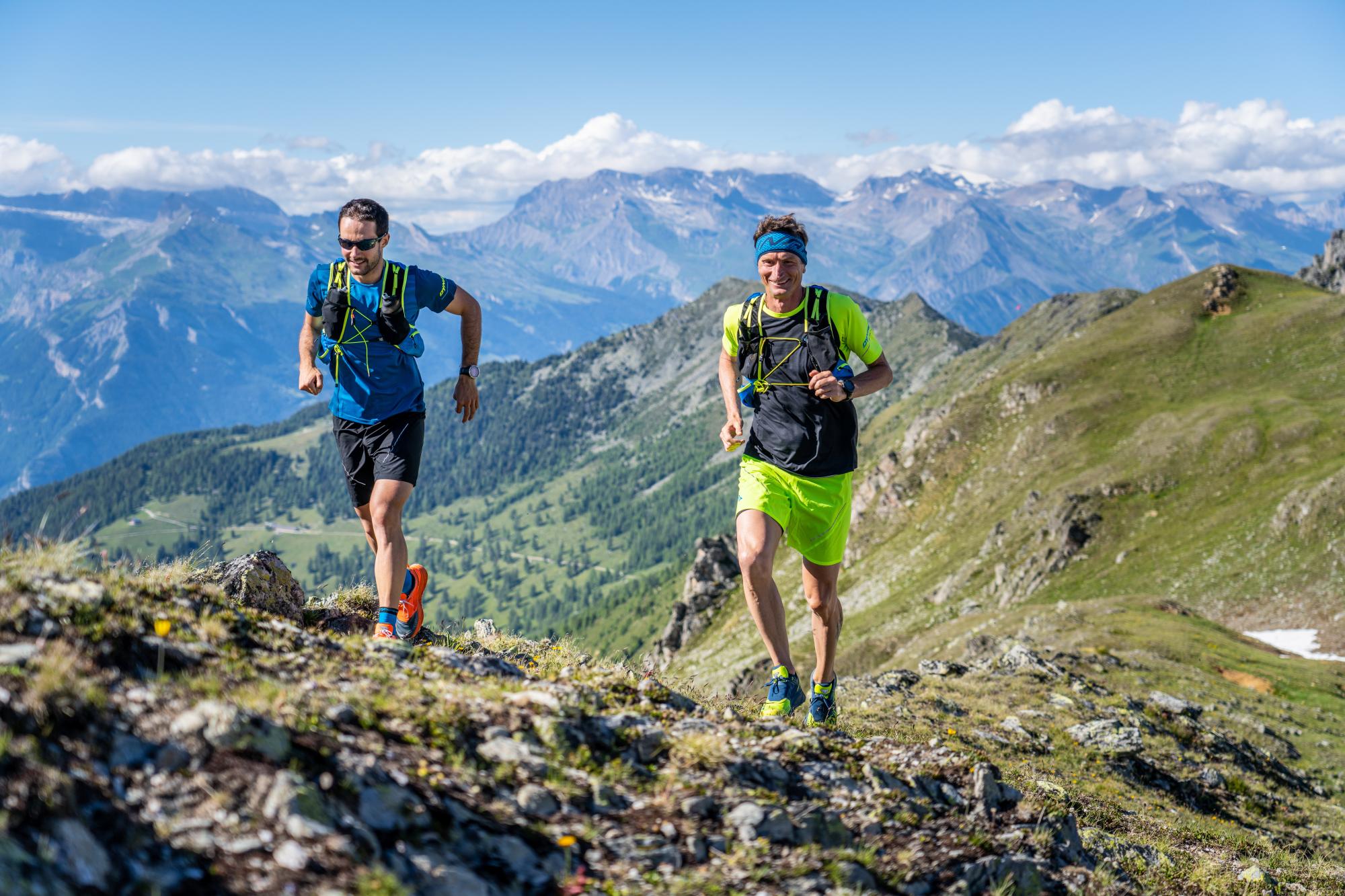
Trail running
You cross Pra Da Dzeu, a meadow in the heart of the forest, as well as the hundred-year-old Larch trees of Balavaux before reaching 2'575m in altitude. The descent then guides you to the Japanese Garden, a natural site reknowned for its beauty, before returning on the flat Bisse de Saxon.
- Picnic area available
- Accessible by public transport
- Loop
- Panorama / belvedere
This trail starts from the plaine des Ecluses. Follow the path which climbs to the left of the Hôtel Nendaz 4 Vallées & Spa towards the gondola departure station. Once you reach the gondola station, climb the ski slope following the Nendaz Trail 'grand parcours' signposts. Continue following the Nendaz Trail signposting when you reach the Clève car park, stay to the right until you reach the Rairettes chapel then follow the road. After a short steep climb through the forest, you can admire the 'gouille d'Ouché' before reaching Pra Da Dzeu. A few open viewpoints allow you to admire the surrounding summits, including the Haut de Cry.
Once you arrive at Pra Da Dzeu, follow the path next to the wooden fence to reach the 'bisse de Saxon'. The trail then continues by following the yellow signposts towards the Croix de Jean-Pierre. The path then alternates between gentle slopes and steeper ones until you reach the three crosses.
At the Croix de Jean-Pierre, follow the yellow signpost towards Balavaux. This is very gentle uphill passage, perfect to regain a little strength. Once you arrive at the Balavaux cabin, you can admire the view over the alps an also over the huge hundred-year-old larch trees which surround you.
After a well earned rest, continue towards Champs Ferret as shown on the yellow signposts along a dirt track. After a passing under the new Prarion gondola, the path becomes narrower, dotted with roots and rocks. From then on, it is by following the white red signposts that you reach the Dents Rousses. The path becomes more and more technical along the mountain face. It alternates between flat passages and steep slopes. It leads you through scree and over a torrent. You then reach a meadow and are able to spot the Pointe des Champs Ferret at 2'742m in altitude before you. Cross the stream after the scree and continue your ascent on the left hand side of the Pointe des Champs Ferret still following the white and red markings on the rocks.
The climb is short but steep between rocks and boulders. Halfway up, take the opportunity to admire the view over Balavaux, the Alpes as well as Tracouet that you can see in the distance. Continue the climb for a few more metres to reach 2'575m in altitude, the highest point of this trail. Before you lies a breathtaking panoramic view over the Mont-Fort, the Mont-Gelé as well as the Cleuson Dam, with the Japanese Garden below it.
Now start your descent along the steep and uneven path that runs along a small steam. The white and red markings lead you through the mountain pastures to a wide dirt road, then over an ancient moraine. You can see to your right the Japanese Garden. Your descent continues following the yellow signposts along a wide dirt track bordered by a river with purple reflections, through the Tortin mountain pastures. Continue along this track and just before crossing a little wooden bridge, take the path on the right which leads you into the forest along the banks of the river. The trail finishes with a few kilometres on the flat along the bisse de Saxon, with a few narrow passages along the rock face, then, after 'La Bourlâ' cabin, by a final descent towards Haute-Nendaz following the Nendaz Trail signposts.
It is possible to shorten the scent by taking the Tracouet gondola, then reaching the Balavaux cabin on foot.