Trail running course La Comberette
Trail running
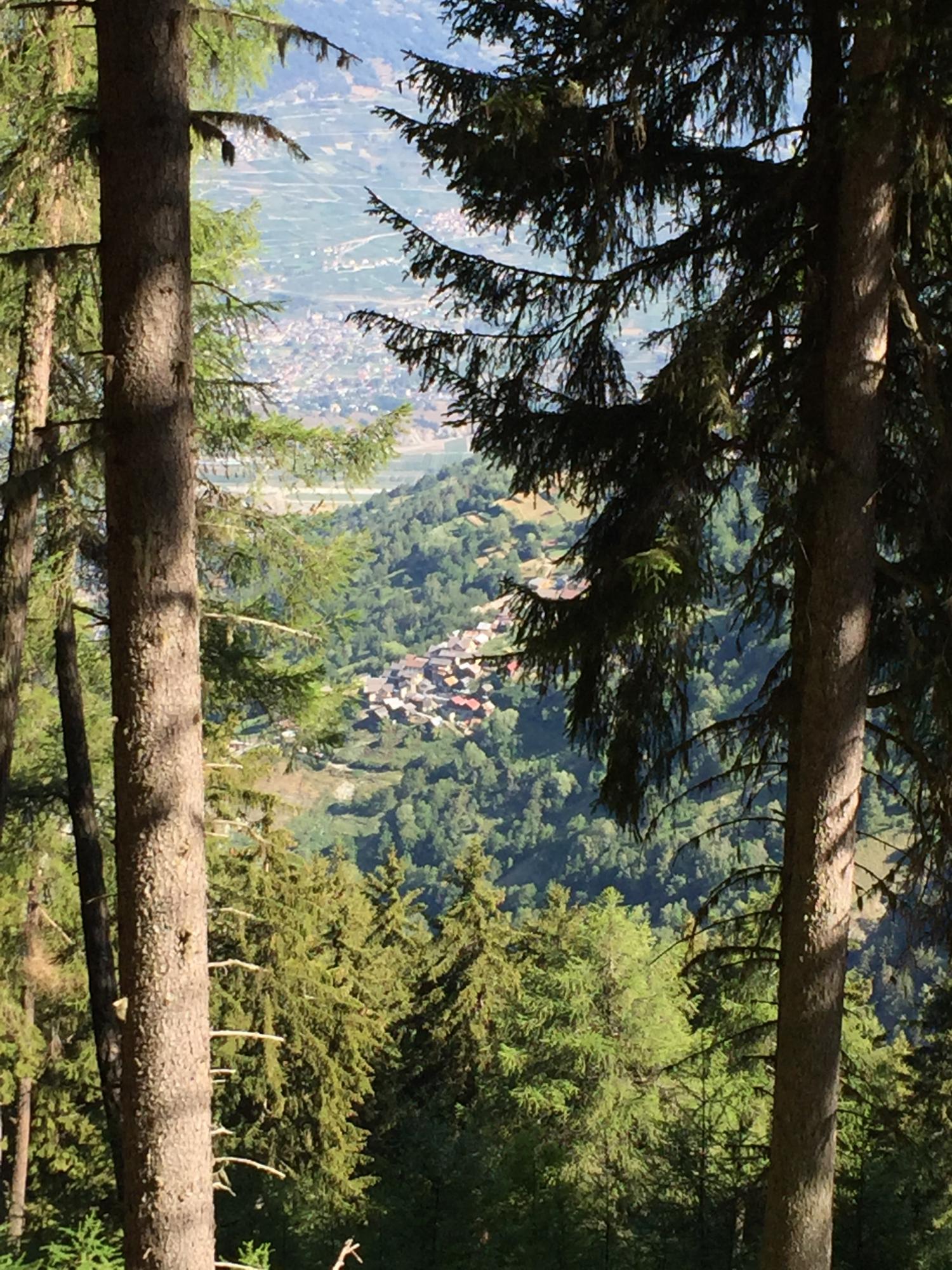
This varied trail running course takes you up from Veysonnaz at 1360 metres to the "Comberette" clearing at 2000 metres, passing through the charming hamlet of Clèbes and along the Bisse de Salins to the lowest point at 1,120 metres. The course alternates between descents and climbs but does not present any real technical difficulties.
- Accessible by public transport
- Loop
- Panorama / belvedere
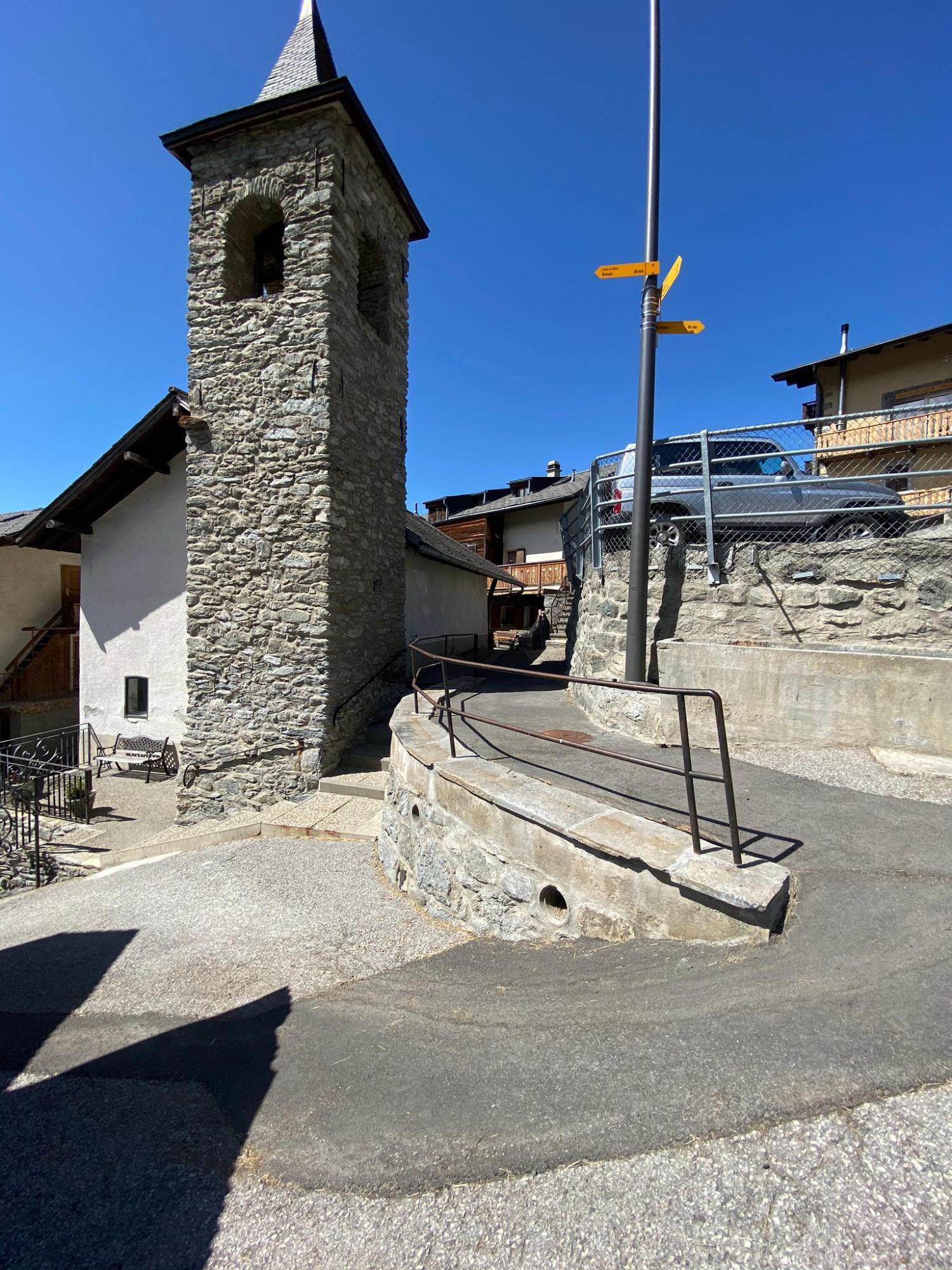

The departure is in front of the Hotel Magrappé. The course starts along the bisse de Vex, towards Planchouet. At the first junction it descends to the resort, then through the chalets to reach the hamlet of Clèbes. On this short warm-up section, enjoy the exceptional view of the villages of Haute-Nendaz and Basse-Nendaz.
Below the chapel of Clèbes, the footpath descends to the left and joins the bisse de Salins, which you can follow for one and a half kilometres on a very pleasant path, until you reach a place called Plan-Désert above the village of Beuson.
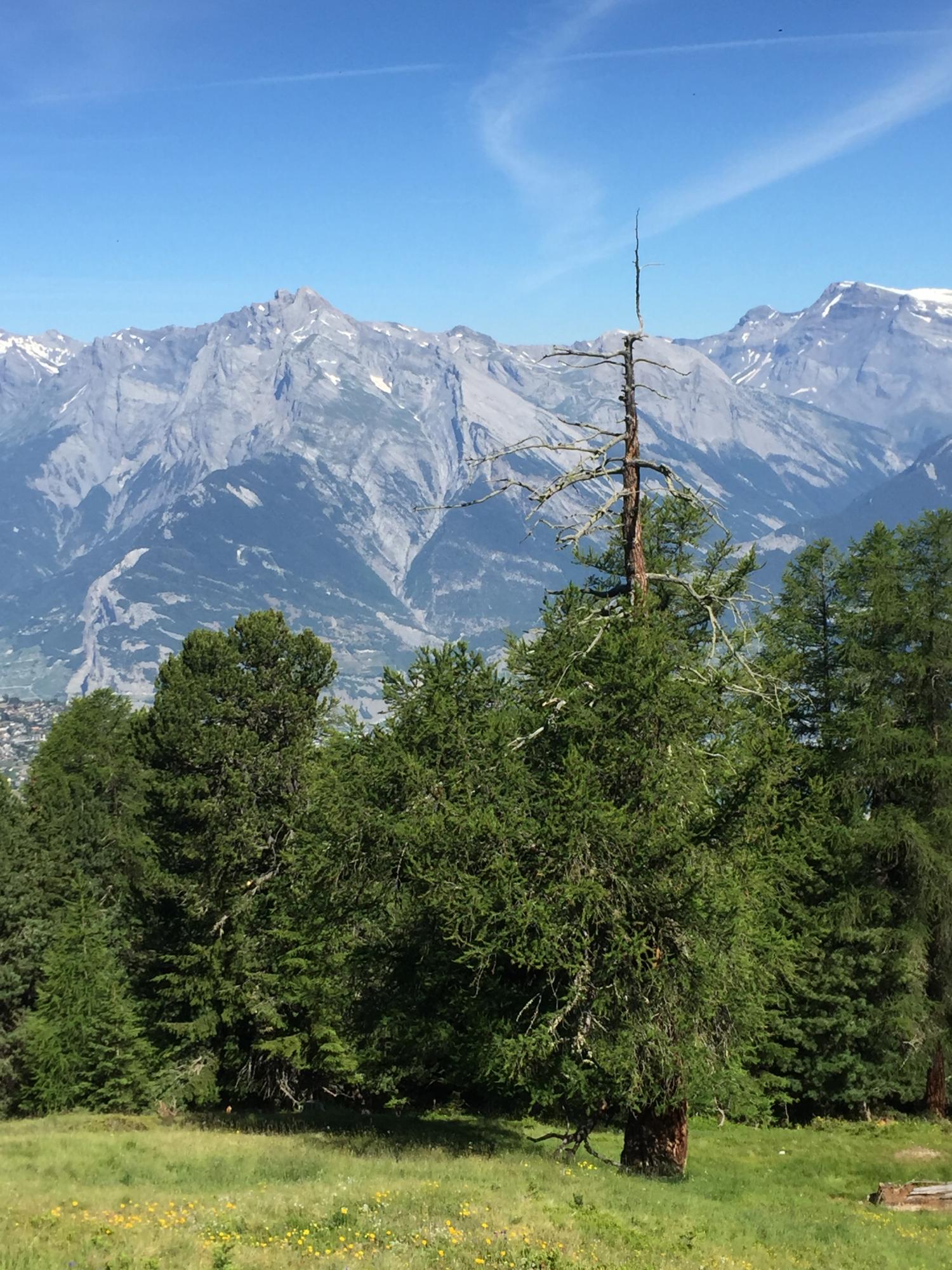
A very nice uphill run then awaits you on a forest road for the next six kilometres. The last 300 metres of ascent are steep, covered in only one kilometre, on a narrow and wild forest path that leads to the Comberette clearing at the place called Aroë.
The leizurely return is made on an old mountain pasture road, up to the Mayens de Veysonnaz. Through pastures and chalets, the descent is fairly direct back to the starting point.